
 |
 |
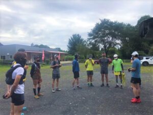
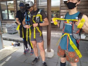
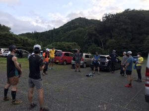
| This time, maintenance / utilization leader outdoor training This is the second time. Have a pre-meeting I confirmed today’s flow and division of roles. |
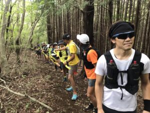
14 people from the cooperation team participated. Since it is a field survey, I do not have the usual pruning scissors and rakes. |
 |
 |
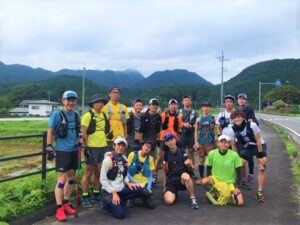
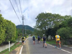
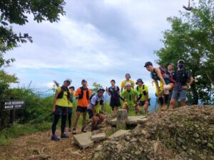
| Move to the starting point, Mt. Washizusan, It is a commemorative photo with Mt. Nantai and Mt. Nyotai in the back. |
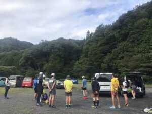
First, aim for the entrance to the mountain trail. The temperature is not too high and it seems that you can walk comfortably. |
 |
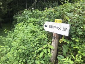 |
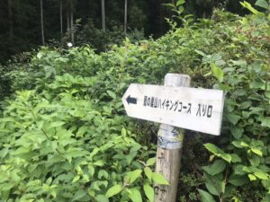
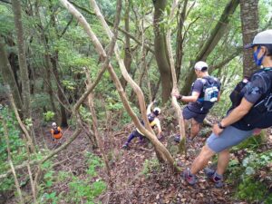
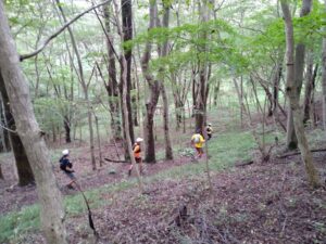
| The trail tape at the entrance of the mountain trail the color had faded immediately. | Wrap a new tape and move on. |
 |
 |
|
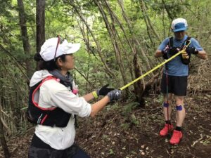
Trail tape cut to a certain length, |
Give it to each of the cooperative teams it is a strategy to wind while walking. |
|
 |
|
Wrap the trail tape smoothly I was able to. |
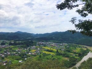
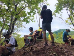
Washizusan view point 1 |
|
|
|
|
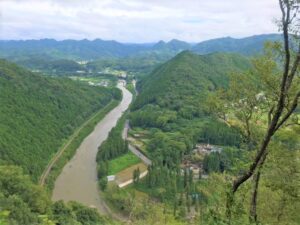
Washizusan view point 2 |
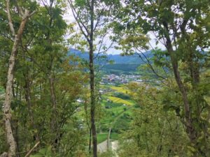
Washizusan view point 3 |
|
|
|
|
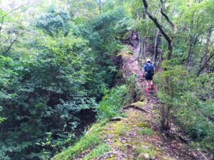
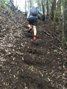
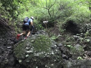
There are places on the course where both sides are cut off. |
There are many steep slopes on Mt. Washizusan. |
|
|
|
|
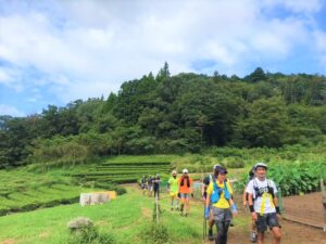
At the foot of Mt. Washisu, Oko lacquer and tea plantations spread out. |
Next, head to Mt. Chofuku. |
|
|
|
|
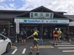
before that, I stopped at a convenience store and took a break. |
With water and energy I also replenished the trail tape. |
|
|
|
|
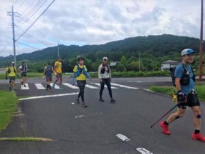
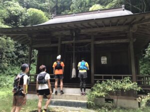
Proceed through the village of Korofuji to Chofukuzan, which you can see in front of you. |
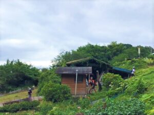
Arrived at Chofuku Shrine. Don’t forget to visit. |
|
|
|
|
The steps I made in last week’s maintenance without being washed away by the rain every day I was relieved that it remained firmly. |
At the view point made by ourselves I enjoyed lunch. |
|
|
|
|
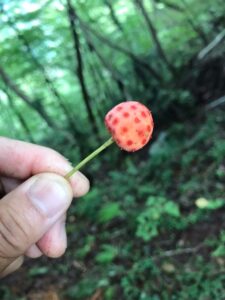
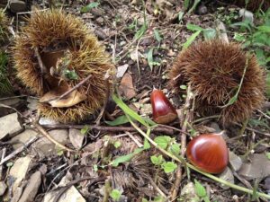
The fruit of Kousa dogwood was also about to be eaten. |
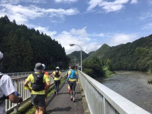
After descending Mt. Chofuku, Rehydrate and head to Mt. Nantai. |
|
|
|
|
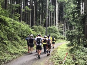
The paved road to the mountain trail run and move. |
A rocky rock continues. |
|
|
|
|
Arrived at the summit of Mt. Nantai. |
Heading over the large circle, this field survey is over. |
|
|
|
|
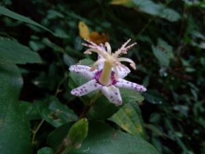
Autumn leaves are still ahead, but I could feel autumn in the mountains. |
At this time, Yamajino Hototogisu is in full bloom. |
|
|
|
|
I returned to the meeting place in the morning and broke up. |
|
この投稿文は次の言語で読めます: 日本語 (Japanese)
この投稿文は次の言語で読めます: 日本語 (Japanese)