
GEO & NATURE-05: Ryujinkyo-From the seabed to space
Ibaraki Prefecture North Long Trail Course
Lying over C-60-61
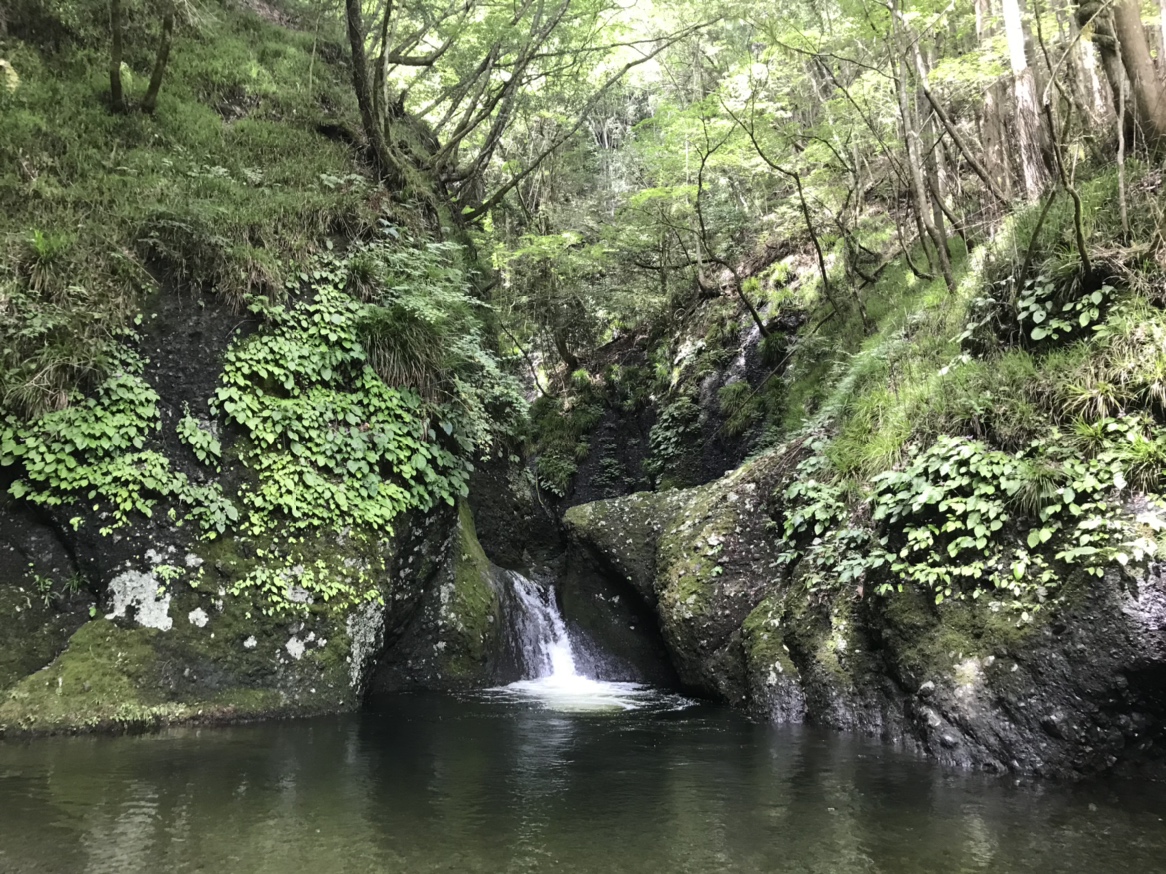
Scenic spot, Ryujinkyo.
This is also the same as the Okukuji mountain area
It is a topography derived from an ancient submarine volcano.
The long-standing wind and rain and the flow of the Ryujin River
Topography uplifted from underwater due to crustal movements
Shave it like a crack,
Very deep valleys at low altitudes
It’s done.
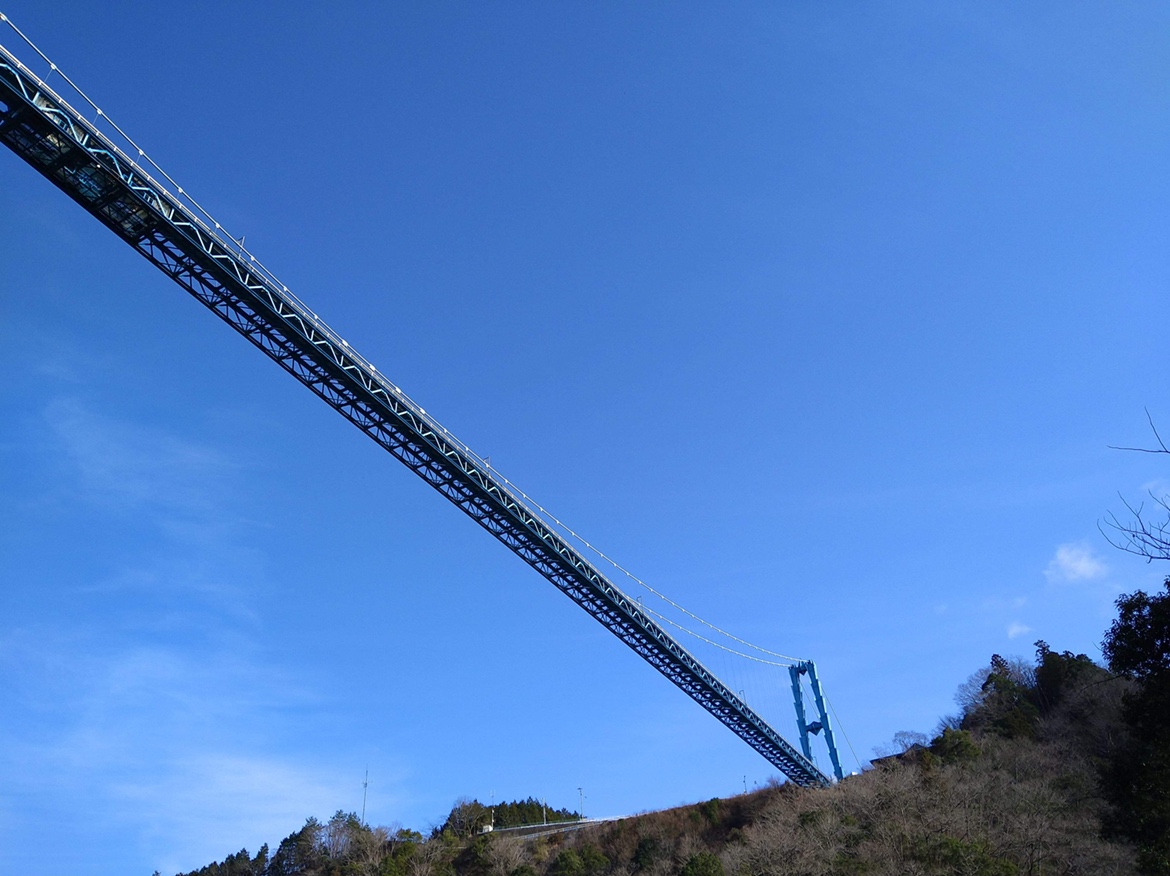
If you look down on Ryujinkyo from the other side of the sky,
Its appearance is just like a dragon.
The old man who named it “Ryujinkyo”
In an era when there were no planes or drones
How did you see this figure?
 |  |
この投稿文は次の言語で読めます: 日本語 (Japanese)